Ask any experienced coastal land buyer in Karnataka the single most important thing about buying property on the Karavali coast, and the answer is almost always the same: inspect the plot before the monsoon. Or, more precisely, inspect it twice — once in the dry season to understand what you are buying, and once in the wet season to understand what you are actually buying. The gap between those two assessments is where money is made or lost.
The southwest monsoon reaches the Karnataka coast in the first week of June, and by the middle of the month the ground has transformed. Plots that looked flat in April reveal 3-4 foot depressions that fill and hold water. Boundaries that seemed clean turn out to sit inside natural drainage paths. Access roads that appeared perfectly usable become impassable clay tracks. All of this is invisible if you inspect only in the dry months. This post walks through the 9 checks we run on every prospective SSV Realty listing between March and the last week of May.
Why Pre-Monsoon Timing Matters More Than the Plot Itself
The most common mistake buyers make in coastal Karnataka is treating the dry-season site as the ground truth. It is not. The dry-season plot is the flattering photograph. The monsoon plot is the honest one. Buyers who close deals in December, January, or February — the peak dry season — and then see their property for the first time in July often discover elevation and drainage problems that make the plot far less usable than it appeared. The best defence against this is to complete inspection while the plot is still dry but the monsoon is close enough that you can predict how it will behave.
The March-to-late-May window has one additional advantage: local memory. Villagers who live near the plot remember the last monsoon vividly at this time of year — they know which paddy fields flooded, which culverts overflowed, which access roads became unusable in the June-August window. That knowledge is much sharper in April than it is in November. Ask the questions when the memory is fresh.
Check 1: True Elevation vs. Seller-Quoted Elevation
Sellers routinely quote generous elevation figures for coastal plots — "12 feet above sea level," "safely elevated" — without any independent verification. In many cases these figures are based on nothing more than casual observation. The reality is that elevation on coastal plots varies dramatically over short distances, and what matters is not the plot's highest point but its lowest usable point during monsoon flooding.
Practical check: walk the four corners of the plot with a handheld GPS or a phone app that shows elevation. Note the reading at each corner. Then note the reading at any visible depressions inside the plot. If the difference between the highest and lowest points exceeds 3 feet, ask specifically how the low point behaves in July. For beachfront plots, cross-reference against the nearest available benchmark from a Survey of India topo sheet or the Karnataka State Remote Sensing Applications Centre data.
Check 2: Natural Drainage and Slope Direction
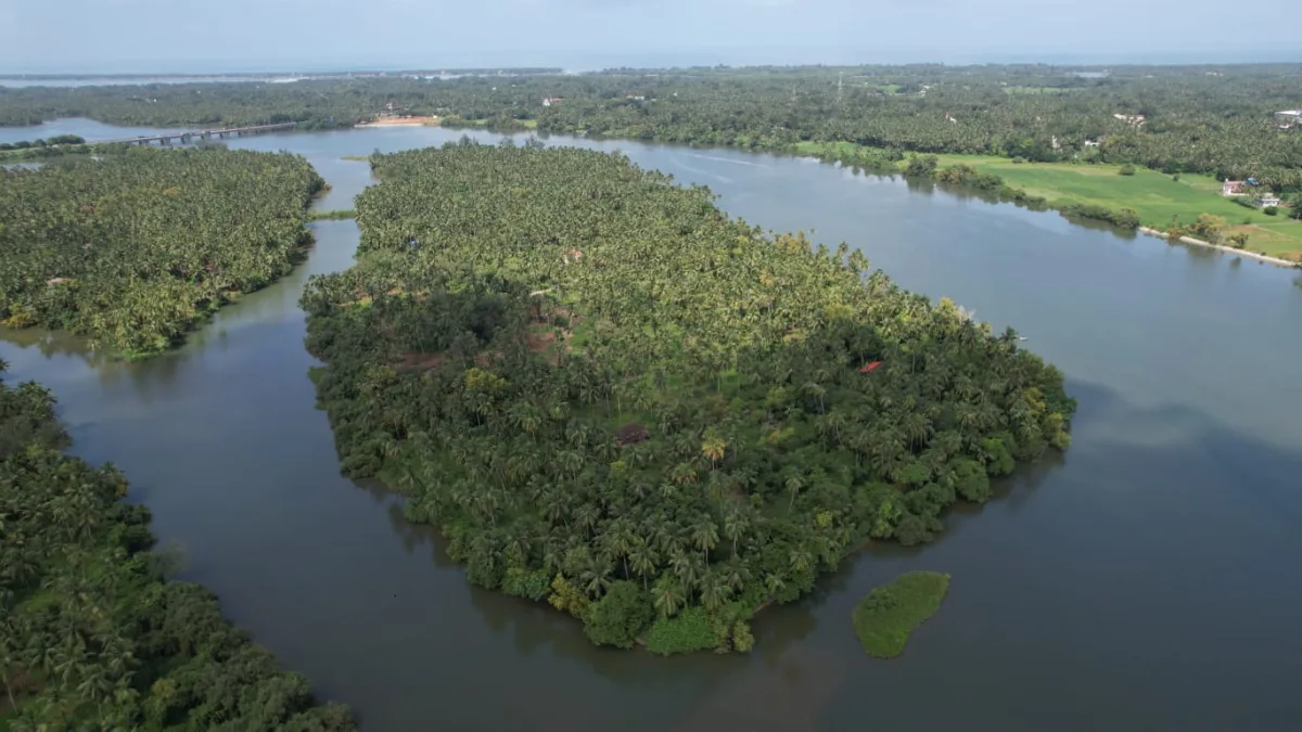
Every coastal plot slopes somewhere. Understanding which direction it slopes — and where the water ends up — is the difference between a plot that stays workable in monsoon and one that becomes a temporary lake. Look for existing drainage paths: shallow gullies, culverts, defined channels crossing the plot or bordering it. Follow each drainage feature to its downstream destination. If water leaves the plot cleanly, that is a good sign. If the plot is a receiving basin for surrounding drainage, that is a serious concern regardless of the plot's own elevation.
The specific problem to watch for is a plot where the natural drainage exits through a neighbour's land, particularly if that neighbour has built a boundary wall that could block flow. Karnataka has clear legal principles on natural drainage rights, but enforcement takes years. Better to identify the risk before purchase than to litigate after.
Check 3: Access Road Behaviour in Wet Conditions
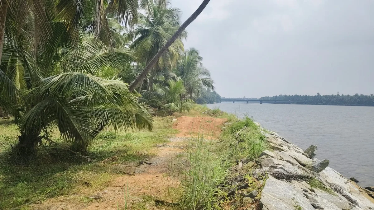
Coastal Karnataka has three types of access roads to worry about: tar-topped panchayat roads (generally reliable), mud tracks with laterite topping (reliable for cars in monsoon, unreliable for heavier vehicles), and pure clay tracks (unusable in monsoon). Many second-tier coastal plots are accessed via 100-300 metres of clay track between the tar road and the plot. In monsoon, that clay track can be effectively impassable for a full month. Ask specifically: has the panchayat asphalted this access road? If not, is it on the panchayat's asphalting list for the current or next financial year?
Also check culvert capacity along the access route. A road that is fine 10 months of the year can become blocked at a single undersized culvert during heavy rain. Walk the entire access route from the nearest tar road to the plot and identify every water crossing.
Check 4: Soil Type and Load-Bearing Signals
Coastal Karnataka soils vary widely — laterite, alluvial, sandy loam, and clay pockets. Each behaves differently in monsoon and each has different construction implications. A soil test is ideal, but a visual and physical assessment during the pre-monsoon window tells you a great deal. Look at the colour and texture of the exposed soil. Check for signs of expansion cracks (indicative of black cotton or clay soils that swell in monsoon and shrink in summer). Look at how neighbouring built structures have behaved — are there visible cracks in nearby compound walls or plinths?
Sandy soils near the coast drain well but require deeper foundations for any construction. Clay pockets in the hinterland can cause serious foundation problems if not accounted for. Neither is disqualifying, but both change the build cost.
Check 5: Actual CRZ Line vs. Paper Boundary
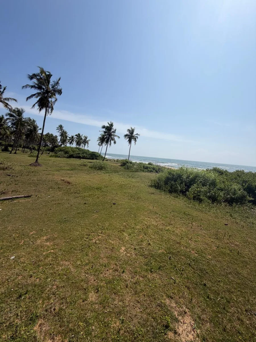
The CRZ boundary shown on paper (the KCZMA-approved map) and the actual field position of the CRZ line can differ, sometimes significantly. This is because the High Tide Line (HTL) reference point changes over time due to erosion and accretion, and the map may reflect a survey from 5-10 years ago. For any plot within 500 metres of the sea, physically identifying the current HTL is essential.
The pre-monsoon window is the best time to do this because the water line is stable and clearly visible. Walk from the plot boundary toward the sea. Identify the highest water mark visible during peak high tide (spring tide) or, better, verify at high tide on a spring tide day (new moon or full moon). Compare this position to what the CRZ map shows. If the actual HTL is closer to your plot than the map indicates, the buildable area of your plot may be smaller than what the paper says.
Check 6: Neighbouring Plots and Their Use
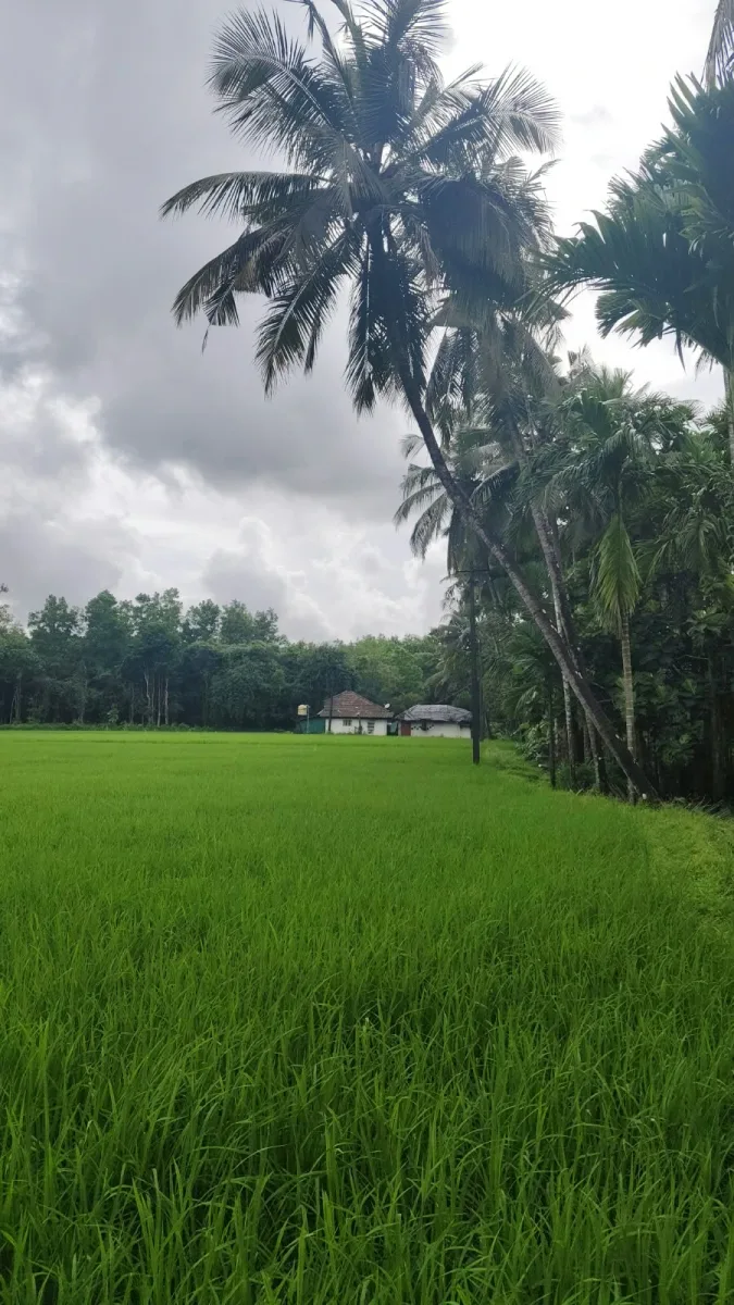
Adjacent land use tells you what the plot's micro-environment will actually be. Are neighbours running paddy cultivation, coconut plantations, arecanut gardens, or built residential? Each has implications. Paddy cultivation immediately adjacent means water logging and pesticide drift during specific seasons. Arecanut and coconut plantations are generally quiet neighbours but can create ownership boundary disputes if trees overhang. Built residential neighbours mean you inherit their construction quality and design choices in your immediate view.
Check 7: Water Table and Well Feasibility
Coastal Karnataka has a high water table close to the sea, dropping progressively as you move inland. This affects two things: septic tank feasibility and well drilling. Ask neighbouring plot owners about the water table depth during peak summer (typically April-May, before monsoon replenishment). If wells nearby go dry in April, expect challenges during dry-season construction. If the water table is within 6 feet of the surface in monsoon, septic systems need careful design to prevent groundwater contamination.
Check 8: Electricity Board Pole Distance
Every coastal plot needs an EB (electricity board) connection eventually. The cost of that connection scales directly with the distance from the nearest EB pole to your intended construction point. Under 30 metres, standard connection cost applies. Over 30 metres, you pay for additional poles and wire. Over 100 metres, the cost can be significant. Note the position and distance of the nearest EB pole during pre-monsoon inspection — much easier than trying to trace lines through vegetation later.
Check 9: Plot Corner Verification Against Survey Records
The pre-monsoon dry conditions make it possible to walk the plot boundary and physically verify each corner against the survey plan (Akarband and Tippan). Bring a copy of the survey sketch. Identify each corner marker — traditionally these are physical stones or concrete markers. If markers are missing, request the seller to have the plot re-surveyed by a licensed surveyor before purchase. Doing this after monsoon, when boundaries can be obscured by growth, is materially harder.
How SSV Realty Uses This Checklist
Every property we list has been walked through the 9 checks above, and our listings include our observations on each. When we say a plot is "elevated" or "well-drained," it is because we have inspected the plot in the March-May window and stress-tested our assessment against local monsoon knowledge. If you are looking at a plot that has not been pre-monsoon inspected, ask the seller for their pre-monsoon documentation. If they do not have it, either do the inspection yourself before closing or delay closing until you can.
View our current listings to see how pre-monsoon inspection changes the way land is described. Every SSV listing includes what we found during our inspection, not just what the seller told us. For NRI buyers who cannot travel during the pre-monsoon window, speak to our team — we can arrange video-verified inspections against this checklist and share the recordings before any commitment.